Welcome to the Alberni Valley
ADVENTURE FOUND HERE, YEAR AROUND!
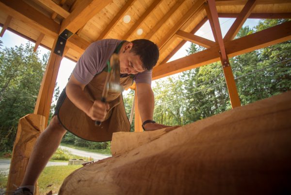
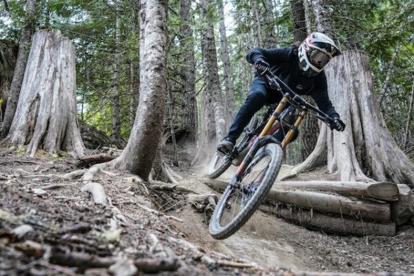
This Vancouver Island destination has much to offer. Carved by glaciers, sheltered by mountains, the Alberni Valley is a brilliant ecosystem, protected by a group of communities working together and enjoying this amazing space. Discover old growth forest and west coast beaches, waterfalls and mountain views. Outdoor enthusiasts with a taste for the extreme will find breathtaking hikes, mountain biking, zip lines and kiteboarding, with west coast surfing just a bit further down the road. If it gets your pulse racing, you can find it in the Alberni Valley.
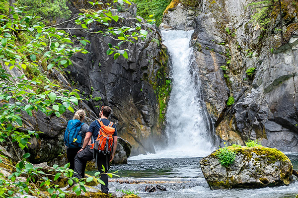
Those seeking a more relaxing pace, might explore walking trails under ancient canopies, watching bears from the boardwalk, or spending a day fishing or tubing on Sproat Lake. Take in some of our history, with a visit to the Maritime Discovery Centre, Maclean Mill Site or Port Alberni Museum. There’s lots to see and do for everyone! Need ideas? You can start with this “How to Spend 2 Days in Alberni Valley” or some bigger adventures with Build Your Alberni Bucket List!
Learn More About the Alberni Valley on our Blog
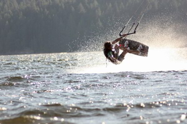
Kiteboarding in Port Alberni
Strong Thermal Winds Make Port Alberni a Top Vancouver Island Destination for High-flying Kiteboarding! If you’re an outdoor enthusiasts seeking an adrenaline rush on the water, look no further than our own Alberni Valley. While we are definitely known for our stunning landscapes and laid-back lifestyle, we’re also building a strong reputation as a prime […]
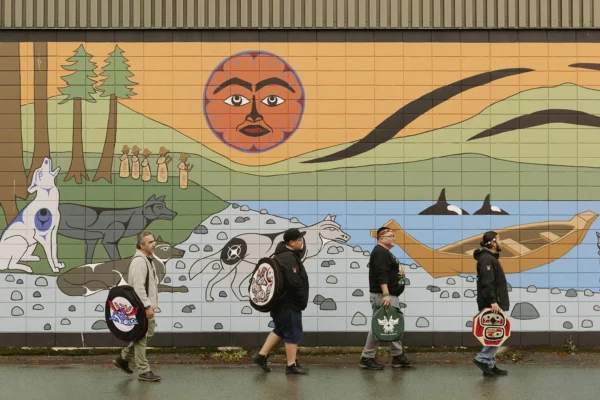
Inspire a Love for Alberni Valley – Indigenous Culture
The Alberni Valley sits on the unceded traditional territories of the Tseshaht and Hupačasath First Nations. Tseshaht First Nation Elected Chief Councillor Ken Watts was born and raised on his traditional territory of Tseshaht First Nation, which, along with that of the Hupačasath First Nation, encompasses the entire Alberni Valley. For Watts, his connection to his homelands stems […]
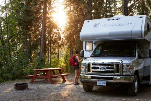
Camping in the Alberni Valley
A Guide to Camping on Vancouver Island in and near Port Alberni Camping is a fun way to make memories and explore the outdoors, and can feel like an adventure even if you are only minutes from home! We are fortunate to have some of the best camping options on Vancouver Island right here in […]
THINGS TO DO
The Alberni Valley is a place of community, and you’ll notice the difference as soon as you check in. Warm greetings, comfy beds, delicious treats, and a sense of safety you can’t find in the big city. From retro motels to a full facility hotel, we have something for everyone.