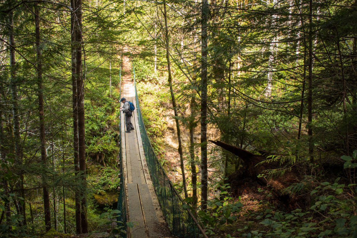
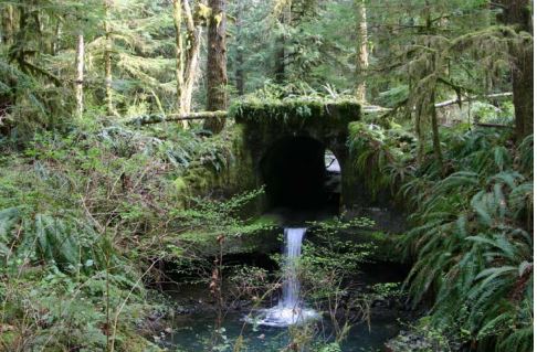
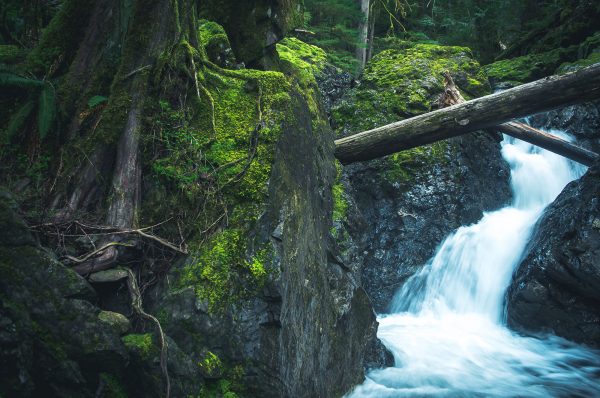
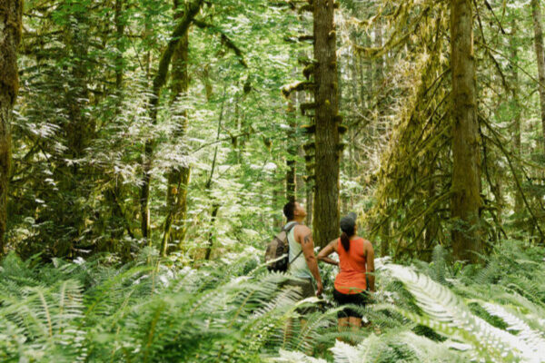
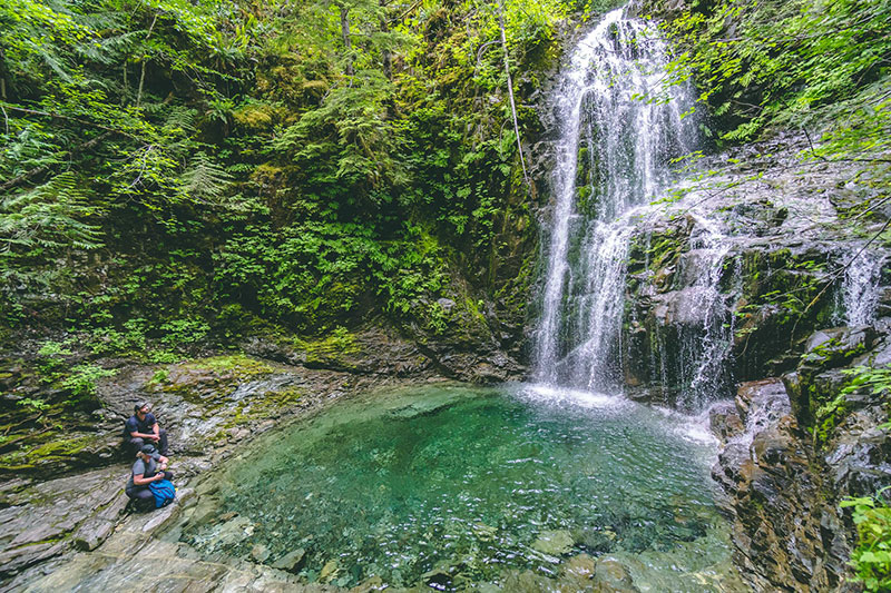
Hiking the Alberni Valley
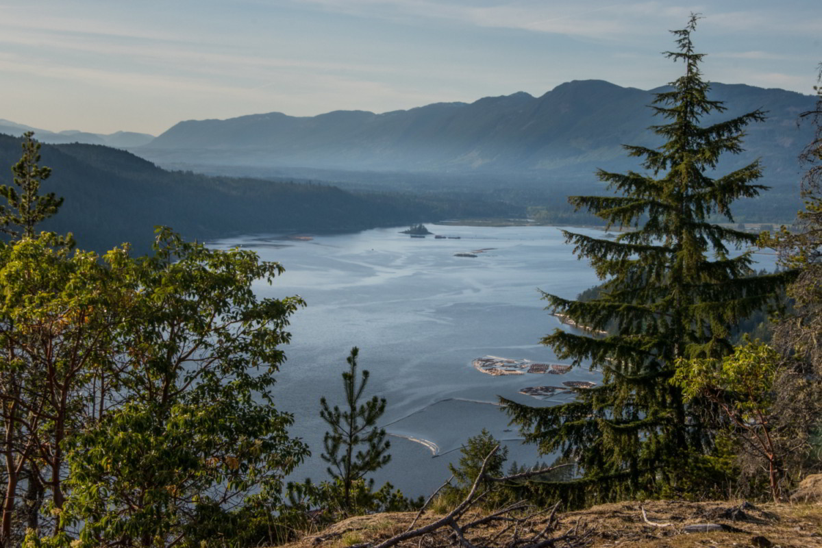
Set in between vast forest-covered mountains and the deep waters of the Alberni Inlet, the Alberni Valley is home to some of the best hiking Vancouver Island has to offer. Boasting over 100 hiking trails that range from beginner to advanced, there are trails to match every skill level and interest. This short list hardly begins to paint a picture of the adventures available to explorers large and small.
Backcountry Camping
The more adventurous and experienced hikers wanting to spend a few days on the trail may want to consider some of these back country camping options.
Mountain Biking
For those who prefer two wheels, the Alberni Valley offers a variety of trails, from smooth forest rides to more challenging singletrack routes for experienced riders. Learn more about mountain biking in the Alberni Valley.
Alberni Valley Hiking Trails
Easy to Moderate Hikes
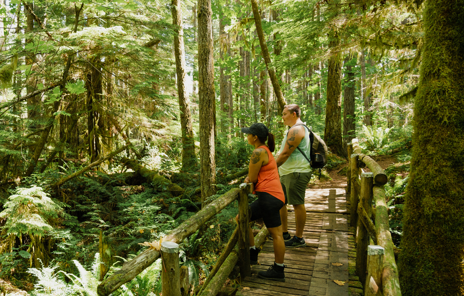
These hikes are ideal for a leisurely afternoon spent in nature. They’re particularly well-suited for beginners, requiring nothing more than a comfortable pair of walking shoes.
Fossli Trail
Difficulty: Easy
Accessibility: Not wheelchair accessible
Length: 1 hour (3.4 km), 96m elevation gain
More Info: All Trails
Fossli Park Trail is located on the backside of Sproat Lake, accessed off a logging road past Stirling Arm Drive.
Greenmax Anglers Trail
Difficulty: Easy
Accessibility: Not wheelchair accessible
Length: 3 hours (4.1 km), 50m elevation gain
More Info: ACRD Website
Greenmax Anglers’ Trail, at the end of Coleman Road by the Alberni Valley Regional Airport, takes hikers on a relatively easy trail to a popular fishing spot known as Eagle Rock.
Teodoro Trail
Difficulty: Easy – Moderate
Accessibility: Not wheelchair accessible
Length: 3 hours (5.5 km), 316m elevation gain
More Info: All Trails
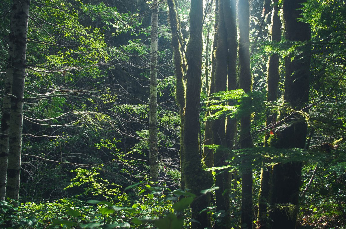
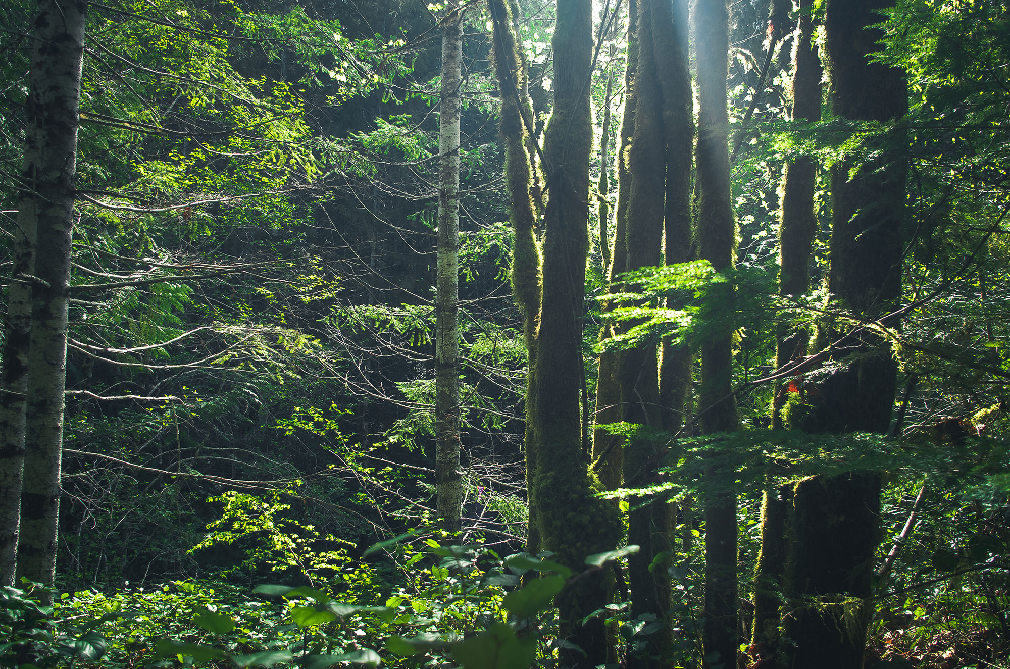
This moderate trail system is approximately 5.5 km through second-growth forests, with views overlooking Sproat Lake. Access is from a logging road just past Great Central Lake Road, west of Port Alberni along Highway 4.
Historic CNPR Trail
Difficulty: Easy – Moderate
Accessibility: Not wheelchair accessible
Length: 4 hours (3.8 km), 60m elevation gain
More Info: ACRD Brochure
The CNPR Trail, named for the historic Canadian Northern Pacific Railway grade, is Phase 2 of the Inlet Trail and runs 3.8 km parallel to Alberni Inlet, from China Creek Marina to Franklin River.
More Trails to Explore...
The Alberni Inlet Trail
Enjoy Breathtaking Natural Beauty While Exploring Historical and Cultural Significance
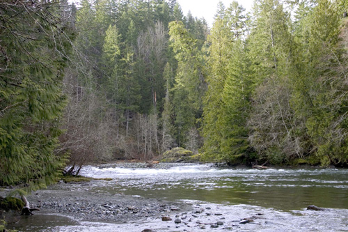
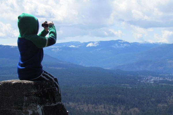
The Alberni Inlet Trail provides breathtaking views of the Alberni Inlet, Mount Arrowsmith, and Port Alberni. It’s located within the traditional territory of the Nuu-chah-nulth people, who have deep historical ties to the land. As hikers explore the trail, they encounter remnants of the area’s past, such as old logging camps, offering glimpses into the region’s rich history. This blend of natural beauty and historical significance makes the trail a unique and captivating destination, appealing to both outdoor enthusiasts and those interested in the cultural heritage of the area.
Stage 1 – Access to Trailhead on Ship Creek Road
Difficulty: Moderate
Accessibility: Not wheelchair accessible
Length: 6 hours one-way (14 km), 1400m cumulative elevation gain
More Info: ACRD Brochure
The trail traverses a working forest, once a hub for mining copper and gold in the 19th century. Today, it serves as a vital transportation corridor and recreational destination. Signposted throughout, the trail ascends from Ship Creek Road through the forest to a lookout offering panoramic vistas. It then winds towards the Alberni Inlet, offering route options like Follinsbee Creek or the Lookout and old Copper Mountain Trail. The trail continues southward, providing varied perspectives of the inlet’s shoreline and surrounding landscapes, including views of China Creek Dryland Sort and China Creek.
Stage 2 – Access to Trailhead on Franklin River Road
Difficulty: Moderate
Accessibility: Not wheelchair accessible
Length: 3.5 hours one-way (9.8 km), 100m elevation gain
More Info: ACRD Brochure
The trail starts from the northern access on the China Creek Marina road, passing through a recent cutblock before descending steeply through mature timber and evergreen huckleberry to Underwood Cove. Along the way, enjoy views of the inlet from rocky clearings. After passing Underwood Cove, follow the trail to a T-junction, with one branch leading to Underwood Point and the other to a recently logged area. Continuing on, the trail crosses a concrete culvert and joins the CNPR grade, offering views of the inlet and access to small beaches. Caution is advised in narrow and steep sections. At the south end, navigate past the Franklin Forest Products sawmill, then ascend to the logging spur road leading to parking.
Find Your Next Adventure


Gear Up for Outdoor Exploration
Discover the Alberni Valley’s premier sport and outdoor shops, your one-stop destination for all hiking and outdoor adventure needs. From sturdy hiking boots to essential camping gear, these shops offer top-quality equipment and expert advice to elevate your outdoor experiences. Conveniently located and locally owned, support the community while gearing up for unforgettable hikes in the stunning landscapes of the Alberni Valley.